Trio of storm systems head to Tahoe

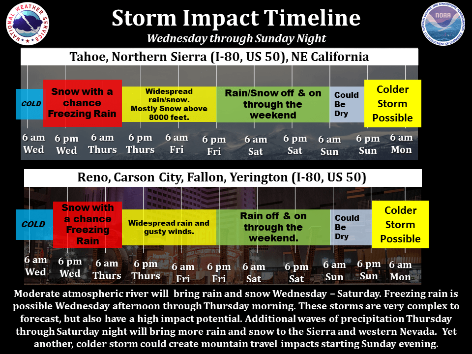
An active weather pattern will push multiple storms across the Tahoe Sierra over the next several days. The next system will impact the region overnight on Wednesday, Dec. 7, into Thursday, Dec. 8, and will bring snow accumulations to the Sierra and western Nevada, along with potential for freezing rain in the valleys, according to the National Weather Service.
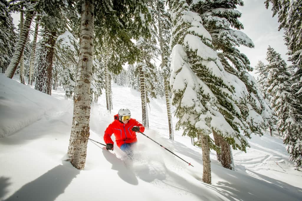
ns_action-2

Courtesy of Northstar California

The forecast calls for 2 to 5 inches in the Tahoe Basin, with nearly 1 foot possible along the Sierra Crest. A mix of rain and snow will continue through Friday, with most snow accumulation above 8,000 feet.
15380684_1271826122879225_5298179714881148091_n

A wintry mix of rain and high elevation snow will continue through the weekend, with additional systems possible into early next week, with snow forecasted down to 7,000 feet possible on Monday into Tuesday.


Previous articleEpic powder | The best of the biggest winter storms
Next articleBeats Antique
Katherine Hill
Katherine first moved to Tahoe in 1998 and has been in love with the Tahoe Sierra region since. She has been in the journalism field for more than 25 years and has worked for daily and weekly newspapers and magazines, as well as online publications and Web sites, as an award-winning writer and editor. In the fall of 2013, Katherine became only the third owner of the Tahoe Weekly magazine, and today serves as its Publisher and Editor In Chief. She also volunteers as a board member on of the Tahoe City Downtown Association, a commissioner on the North Tahoe Regional Advisory Council and is a member of the TBID Advisory Committee for the North Tahoe Community Alliance. She is also a past commissioner of the U.S. Forest Service Lake Tahoe Federal Advisory Commission.