


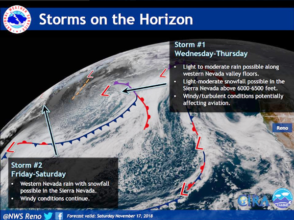
The U.S. National Weather Service in Reno has issued winter travel warnings for the Thanksgiving holiday week as two storms move into the Tahoe Sierra bringing the first major snowstorms of the season.
The Weather Service is advising travel to Tahoe by Tuesday as the first storm is expected to move into the region early Wednesday morning with high winds and snow. Current projections show that precipitation will begin along the Sierra crest by 10 a.m.
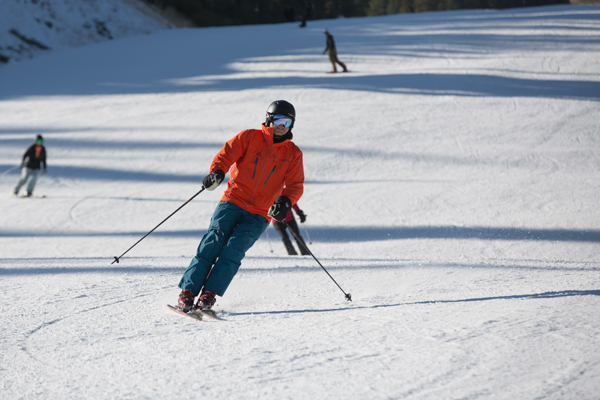
The additional snow is just in time for more ski resorts openings as Kirkwood (Nov. 24) and Tahoe Donner Cross Country (Nov. 23) prepare to open this week, joining over six resorts already open for the season.
Tahoe ski resorts open:
- Boreal
- Heavenly
- Mt. Rose
- Northstar
- Soda Springs
- Squaw Valley Alpine Meadows
Check out the full ski resort opening dates
Slick driving conditions are expected over Sierra passes including along Highway 50 and Interstate 80 above 7,500 feet by late Wednesday morning, according to the Weather Service. Travelers should plan for possible road closures for Ebbetts on Highway 4, Sonora on Highway 108 and Tioga on Highway 120.
Read the full forecast from the Weather Service
Snow levels will start around 5,500 to 6,500 feet early Wednesday morning, rise up to 7,500 feet by the afternoon and then fall overnight back to around 6,000 feet. Lower elevations can expect a mix of rain and snow throughout Wednesday with snow at Lake Level overnight into Thursday from 1 to 4 inches. Snow accumulation of 6 to 12 inches above 8,000 feet is expected.
The second storm arrives Thursday night into Friday with a mix of rain and snow between 5,500 and 6,500 feet. During the day Friday, snow levels should rise to around 7,000 to 7,500 feet with another 6 to 18 inches of additional snow accumulation above 7,500 feet.


