


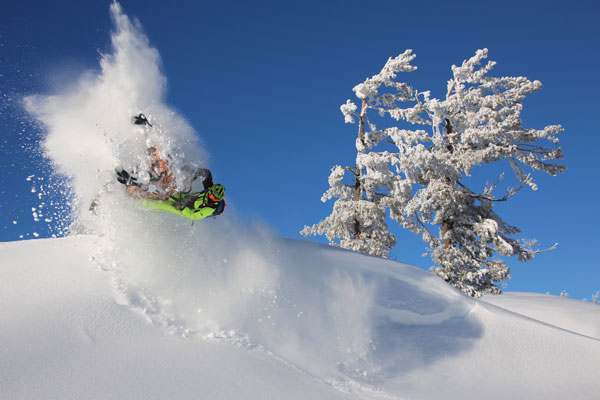
The decisions are almost here. Since 2015, the U.S. National Forests spread throughout the Tahoe Sierra have been neck deep in the process of designing over-the-snow vehicle management policies for its vast public lands. Now, the majority of forests in the region including Stanislaus, Plumas, Eldorado, Lassen and Tahoe aim to release final plans in the coming months, officially establishing where motorized vehicles such as snowmobiles, snowbikes and snowcats are permitted to travel.
“At the end of the day when I look across our forests, there are millions of acres that are designated for OSV use so the opportunity does remain abundant as we go forward. So hopefully, we will be able to maintain the amazing opportunity to explore the magic winter wonder of our National Forests.” –Garrett Villanueva
In 1972, President Nixon issued an executive order requiring federal land-management agencies to minimize environmental impacts and conflicts associated with the use of motorized off-road vehicles on federal public lands. While the forests in the Tahoe Sierra eventually completed the requirements for dirt bikes, quads and other dry weather vehicles by 2010, they did not perform that same analysis for winter machines.
- Read our coverage on the OSV plans
- Find links to each plan online
- Read our detailed synopsis of proposed changes
Three groups — Snowlands Network, Winter Wildlands Alliance and the Center for Biological Diversity — subsequently sued the Forest Service in 2011 to perform that study. The result was a 2013 settlement to complete the analyses. Each National Forest that sees significant OSV (over-snow vehicles) use is now required by the National Environmental Policy Act to assess potential environment impact and update where OSVs may or may not be used in each Forest Service district.
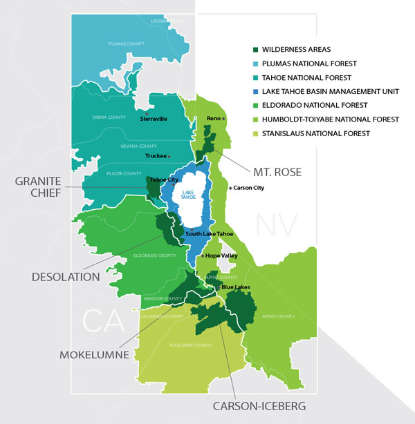
See an overview of plans
Chart by Sean McAlindin | Tahoe Weekly
Stanislaus National Forest will be the first to publish its decision this spring. Eldorado, Lassen and Tahoe National Forests are expected to release its decisions in late summer or fall.
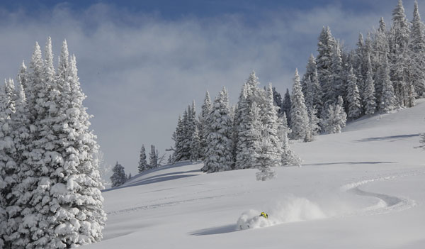
The Lake Tahoe Basin Management Unit, a special district managing the lands surrounding Big Blue itself, put forth its initial proposal in September 2019 and is now in the process of reviewing more than 1,000 comments in hopes of publishing a draft decision by early 2022. At that time, the public will have the opportunity comment before the Forest Service makes its final decision.
Projects Plans by Forest Service District:
Eldorado | https://www.fs.usda.gov/project/?project=46034
LTBMU | https://www.fs.usda.gov/project/?project=47342
Lassen | https://www.fs.usda.gov/project/?project=45832
Plumas | https://www.fs.usda.gov/project/?project=47124
Stanislaus | https://www.fs.usda.gov/project/?project=46311
Tahoe | https://www.fs.usda.gov/project/?project=45914
Nevada’s Humboldt-Toiyabe National Forest plans to start working on its plan in fall 2021, according to spokesperson Christina Sukach, making it the last of the National Forests in the greater Lake Tahoe area to once and for all determine where OSVs can and cannot go within public lands.
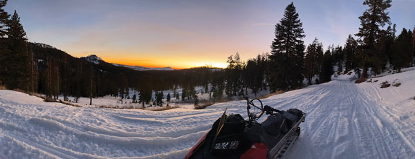
A Delicate Compromise
These winter travel management plans represent a diplomatic arrangement between various public interest groups including snowmobilers; non-motorized back-country travelers such as skiers, splitboarders and snowshoers; private landowners; environmental scientists and stewards; and more than a dozen government agencies. By law, the Forest Service project teams must consider numerous factors in its decision such as preservation of the environment and local wildlife, federally protected areas including wilderness zones and the Pacific Crest Trail, the history of recreation in the area, and reports of disputes between motorized and human-powered travelers.
Balancing each party’s interest within this recreationally popular and biologically important geographic region is no easy task. Plumas National Forest recently decided to postpone its final decision until the end of the year to adequately address concerns raised in 18 objection letters received in reaction to its draft decision.
“It is increasingly clear to me the Plumas OSV project is much more complex than lines on a map and designation of areas,” wrote Plumas National Forest supervisor Chris Carlton in a Feb. 26 email to Tahoe Weekly. “We will be recreating, working and living with each other in these communities for a long time after the ink is dry, so while we don’t all need to agree with the final decisions, we do need to have confidence in how we got there. One of the things that has become evident is a number of questions remain about rationale for various proposed decisions. To move forward, the Forest needs be prepared to address to those questions, and then we need to work together to find successful solutions.”
Most of the final plans had been scheduled for release in 2020 until the coronavirus pandemic combined with one the worst wildfire seasons on record pushed things back as government agencies juggled dual crises while working remotely.
“It’s stretched the agency thin,” says Pacific Southwest Regional Office trail and travel management program leader Garrett Villanueva. “We’ve all found ourselves having to fill roles that we haven’t normally done in the past. We had over 2 million acres of National Forest lands burn last year. Many of us were supporting efforts to fight those fires. With the increased recreation use and additional challenges presented by the pandemic everything has been more difficult and it just seems to take longer.”
As our public lands see greater use than ever before, these policies and the processes that create them reflect on the importance of working together as a community to share the beauty of these precious resources, while also preserving them for future generations to come.
“We want to build the plan that addresses the public wants and needs for recreation use and resource protection, as well as all the statues, law and policies we must follow,” says Villanueva. “There’s really some spectacular scenery and terrain throughout the Sierra Nevada that makes for amazing OSV opportunities. The designated open areas are informed by resource analysis. In places where they are closed, there are reasons that are important. At the end of the day when I look across our forests, there are millions of acres that are designated for OSV use so the opportunity does remain abundant as we go forward. So hopefully, we will be able to maintain the amazing opportunity to explore the magic winter wonder of our National Forests.”
General Changes
- 12-inch minimum snowpack requirement; 6 inches on trails
- 500-foot buffer around Pacific Crest Trail (PCT)
- Limited OSV access under 4,000 feet elevation
- 120,000 acre or 26% reduction
- Restricted access nearby Van Vleck Road and Loon Lake
- 58 miles of groomed trails
Lake Tahoe Basin Management Unit
- 3,600 acre or 2% reduction
- OSV use restricted to Nov 1-April 15
- Restricted access by Incline Village, Hell Hole, Chickadee Ridge, Barker Pass and Fallen Leaf Lake
- Addition of 22 parking spaces for trail access
- Investment in new groomed trails
- 200,000 acre or 21% reduction in OSV-friendly zones
- 17 designated PCT crossing sites
- Restricted access nearby Colby Mountain, Eagles Lake, Hog Flat and Bizz Johnson Recreation Trail
- 290,000 acre or 25% reduction
- 16 PCT crossings
- Restricted access nearby Mount Fillmore, Bucks Lake Creek, Upper Jamison Peak, Thomson Peak, Lost Sierra Ski Traverse and Lakes Basin
- 143 miles of groomed trail
- 540,000 acre or 79% reduction
- Restricted access nearby Haypress Lake and Jelmini Basin
- Construction of five seasonal stream crossings
- April 15 seasonal closure at Sonora Pass
- 230,000 acre or 28% reduction
- 34 PCT crossing sites
- Restricted access nearby Boca Reservoir, Sagehen Research Station, Tinker’s Knob and Independence Lake


