


By Jenn Sheridan ·
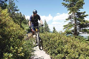
Andrew Gauthier maneuvers a narrow section of Trail ·
Itching to get out and pedal after a month-long, unintentional hiatus from my bike, my friend Andrew Gauthier and I decided to spend a recent afternoon exploring the Tahoe Rim Trail between Mount Rose and Tunnel Creek Road.
The ride is a little more than 8 miles one-way and follows the ridge providing views of Lake Tahoe and the Carson Valley. Riders can choose to park a car at the Tunnel Creek Café or complete the entire ride as an out-and-back totaling roughly 16 miles. Keep in mind that the Tahoe Rim Trail is only open to bikers on even-numbered days of the month. This helps to prevent potential conflict between equestrians and hikers. Following the rules helps to build a positive relationship among trail users.
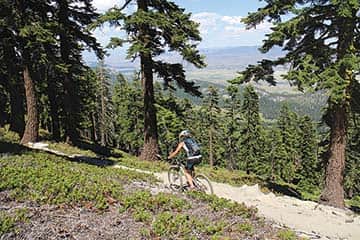
Jenn Sheridan pedals above the Carson Valley ·
I recommend starting from the Tahoe Meadows trailhead because it provides more downhill sections throughout the ride, however there is still enough climbing involved to get your blood pumping. Start by parking along Highway 431 near Tahoe Meadows and follow the blue Tahoe Rim Trail signs to the Tahoe Meadows trailhead. The ride begins with a mellow cruise in the shade through the trees before it begins climbing nearly 600 feet. A few rocky sections will test your technical skills, however reaching the top of Chickadee Ridge is immediately rewarded with open views of Lake Tahoe below.
The trail continues to wind south through the trees and as of early July the wildflowers were in full bloom, which was a treat for the eyes as we pedaled along. The trail continues to climb gradually before reaching the top of Crystal Ridge at Diamond Peak and wrapping around to the east of the ridge to provide views of the Carson Valley below. From here, the trail is relatively flat with some small climbs and descents. Most of the trail is hard pack with some loose sand and a few rocky sections. We continued pedaling, stopping a few times to check out prime vistas and wildflowers, to take photos and let Andrew’s dog, Fiji, catch his breath and drink some water.
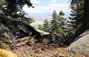
The Carson Valley appears below as the trail wraps to the east side of the ridge ·
After a short climb followed by a few descending switchbacks, we came to an opening with several options to choose from. The first option is to continue south on the Tahoe Rim Trail toward Spooner Summit. This extends the ride to 23 miles and riders are rewarded with views of Lake Tahoe and Marlette Lake, ending the ride at Spooner Summit State Park. The second option is to follow Tunnel Creek Road to the scenic Flume Trail, which is world famous for its views of Lake Tahoe and delivers riders to Marlette Lake and finally Spooner Summit State Park. We chose the third option, which is to continue along Tunnel Creek Road for a 3-mile downhill ending at the Tunnel Creek Café in Incline Village. The road is a fast descent with loose sand that keeps riders on their toes at all times.
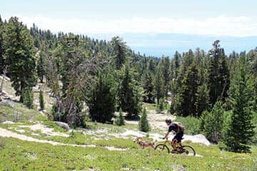
Andrew Gauthier rides one of the hard-packed, sandy sections of trail ·
Once arriving at the Tunnel Creek Café, I recommend taking advantage of the delicious lunch options. Grab a sandwich or wrap to go and enjoy it at one of the beaches along the East Shore before returning to the car left at the trailhead.
Flume Trail Bikes behind the Tunnel Creek Café provides daily shuttle service to Mount Rose and Spooner Summit for $15 per person. It’s a great way to avoid the inconvenience of shuttling a second car and cuts down on the amount of traffic in the area. As well, they provide a variety of rental bikes for those who are visiting the area and travelling light.
When packing to enjoy this stretch of trail, remember to bring plenty of water and an extra layer. Much of the trail is above 8,000 feet so it will be a few degrees cooler than the temperature at lake level.
For more information on the Tahoe Rim Trail, visit tahoerimtrail.org.
Mount Rose to Tunnel Creek
8 miles one way
Intermediate to advanced
Mountain biking on even-numbered days only
Shuttle available


