


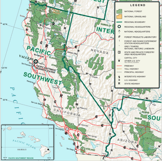
U.S. Forest Service Pacific Southwest Region, which includes the districts in the Tahoe Sierra, has launched a Geographic Information System map that provides the public with updated information on the status of campgrounds, day-use sites, picnic areas and other designated recreation sites on national forests throughout California. Access the map at fs.fed.us/r5/webmaps/recreationsitestatus


