


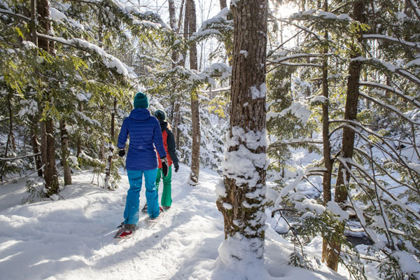
Visitors to California’s National Forests should plan ahead before visiting and recreate responsibly once there. To aid that, the U.S. Forest Service has developed a web map to help visitors find out which recreation areas are open on nearby forests, including campgrounds, day use sites and trails on National Forests in California. View the GIS map for winter updates at go.usa.gov/xwurX.
Please follow posted campfire, parking, and camping restrictions. Be prepared to find alternative areas if your trail or campground is full. Restrooms will likely not be available and pack out all trash from trails and parking areas. Wildlife will be harmed by any trash left on trails or in parking areas. Information on local Forest district offices is available on the Sightseeing page in this edition.


