


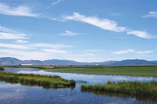
Twenty-five miles north of Truckee there is another Lake Tahoe. Except this one contains lots of cows, waterfowl and grassy meadows, instead of deep water, and it’s a perfect place to get out on your road bike and ride. A number of different routes are available in and around Sierra Valley. Enjoy.
The Valley Loop
Start in Sierraville, head west on Highway 49/89 to Sattley, then take a right and cross the valley on A23. Now, the cars are few and far between, and the sky is big with views across the valley in every direction.
At Beckwourth, you meet the busy Highway 70 and turn right, fortunately the shoulder is wide, and in just a few miles you turn right onto little used A24, which takes you back across the valley to Loyalton. You can cut off a few miles and skip Loyalton by turning right onto Heriot Lane.
Either way, your route is a right turn when you reach Highway 49, back toward Sierraville. The total distance is around 40 miles, with only a few hills near the end on Highway 49. While the number of cars on A23 and A24 is few, those that are on the road do tend to put the pedal to the medal and/or are hauling a trailer, so be alert and ride single file. Sandhill cranes, herons and a host of other waterfowl can be found in the wet areas.
Journey to Frenchman’s Lake
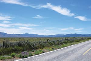
From Loyalton, head north across the valley on Highway 49 to Highway 70. Turn right, and then in a few miles, take a left at the little store in Chilcoot, onto Frenchman Lake Road. Now’s when the riding gets good as you wind past farms and scattered forest on undulating terrain. The highlight is a narrow canyon with walls of high volcanic rock on both sides.
When you reach the lake, you have several options: Turn right and cross the dam to a picnic area with restrooms, or go straight on Little Last Chance Creek Road and climb up and down for a few miles to a boat launch. Return the way you came, or you can follow several other routes across the valley to Loyalton. The ride takes about 45 miles and includes about 1,100 feet of climbing.
Gold Lake Loop
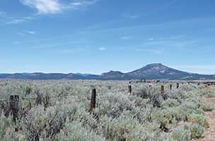
The Gold Lake Loop is one of the most classic rides in the Tahoe region. The route begins in Sattley, following Highway 89 to a left turn onto Gold Lake Highway, where you face a strenuous and seemingly unending climb, followed by a lovely roll through the Lakes Basin, including imposing views of the Sierra Buttes.
A downhill near those buttes leads to Bassetts (ice cream and drinks) and a junction with Highway 49. A left turn takes you slowly but surely up, up, up and over Yuba Pass followed by a long downhill to a junction with Highway 89 and your starting point.
This 44-mile loop with more than 4,000 feet of climbing is a real workout, but with spectacularly varied terrain. The portion along busy Highway 89 between Sattley and Graeagle, however, can be a bit sketchy because of the lumber truck traffic.
Another option is to replace the Highway 89 portion, with a ride up A23 to Highway 70. At 70, turn left and ride into Portola, then pick-up Portola-McClears Road, which winds you to Highway 89, where a right turn quickly takes you to Gold Lake Highway.
This lengthens the ride into the 60-mile range, but makes for a more fun loop for those who are intimidated by large trucks roaring past at 65 mph on a narrow road.
Whichever ride you choose. Get thee and your bike down to the Sierra Valley and the Lakes Basin region soon for incredible riding.
Valley Loop
40 miles
Open valley with few hills
Frenchman’s Lake
45 miles
1,100 feet of climbing
Rolling terrain
Gold Lake Loop
44 to 60 miles
4,000 feet of climbing
Varies from rolling hills to strenuous climb over Yuba Pass


